
Vegetation
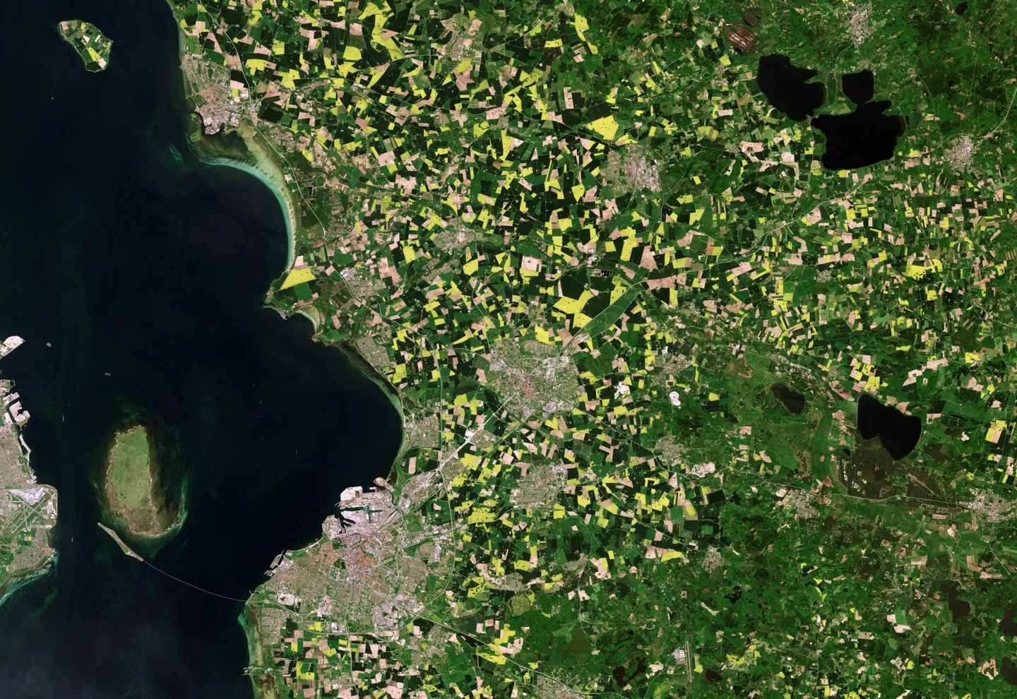
Sentinel-2 observations and NDVI, with acquisition dates, quality masks and coverage diagnostics.
Explore satellite observations, vegetation trends and climate anomalies to support more informed agricultural lending assessments.
The conditions surrounding an agricultural asset can change between reviews. Terra is being developed to bring field-level environmental observations and historical context into the questions a lending analyst already asks.
Supporting professional judgment with transparent environmental evidence.
Walk through a schematic example. Every value and parcel below is synthetic; this is an explanation of the intended experience, not a live assessment.
Choose Compare, Interpret or Review to enable the divider. Use the arrow keys to adjust the revealed layer.
LowerSimilarVegetation difference from a synthetic baseline
An area boundary defines where evidence is examined. Coverage, acquisition date and data quality matter before any signal is interpreted.
The real MVP uses Sentinel-2 vegetation observations and ERA5-Land climate evidence. This illustration is not connected to those data sources.
Sentinel-2 observations and NDVI, with acquisition dates, quality masks and coverage diagnostics.
ERA5-Land-derived precipitation evidence, examined over a defined target window and available historical context.
ERA5-Land-derived temperature evidence and historical comparisons, with completeness and baseline diagnostics.
The MVP compares vegetation with seasonal observations from prior calendar years and examines climate over a defined window. Available baseline years, missing observations and diagnostic limits are part of the evidence.
A historical anomaly does not, by itself, establish its cause or predict a borrower’s ability to repay.
Agree on the agricultural area, relevant period and the decision the evidence could inform.
Review vegetation and climate observations together with baseline coverage and quality diagnostics.
Discuss unusual conditions with the borrower and cross-check management, crop and financial records.
Record the evidence, uncertainty and follow-up questions. The lending decision remains with the institution.
The technical MVP brings together satellite vegetation observations, historical comparisons, climate evidence and geospatial analysis. The next step is to explore a focused pilot with agricultural lending professionals and assess usefulness in their workflow.
Let’s define a small pilot around a real analytical question, an agreed area and clear evaluation criteria.